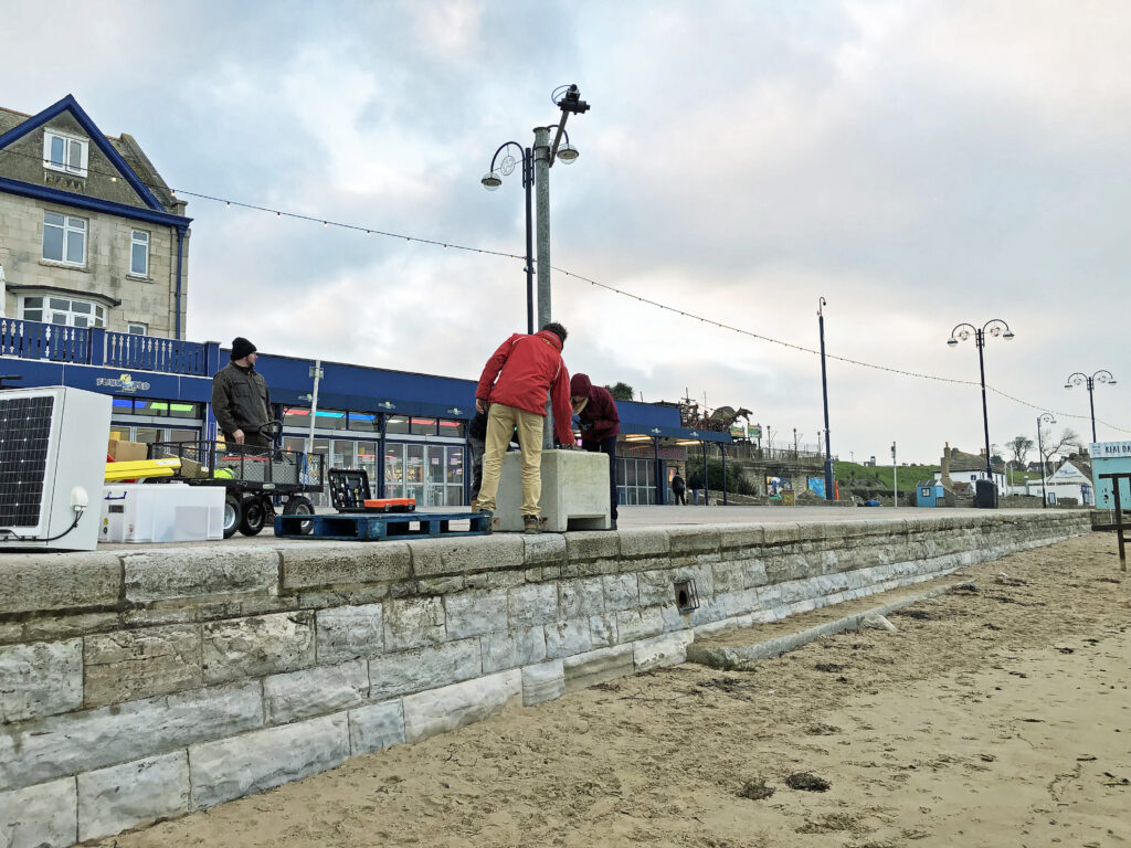
The sight of a newly installed concrete block with a pole and a camera-like device along Swanage’s seafront has left passers-by mystified.
Contrary to some of the guesses, it’s not a webcam or CCTV to spot dog poo on the beach, but an experimental monitoring device installed by University of Plymouth researchers to measure the level of the sand on the beach.

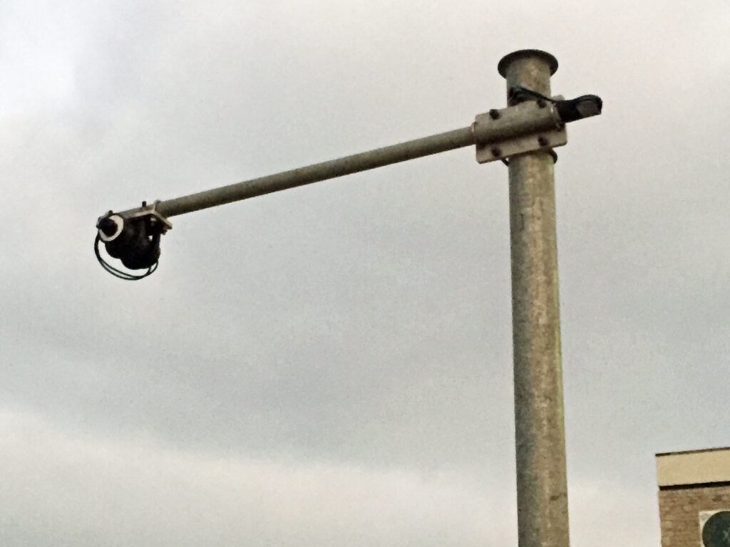
The B-Scan monitor will feed back daily data on the level of the sand on Swanage Beach which can vary by up to a metre
Developed by researchers at the University of Plymouth
The beach scanner or B-Scan as it’s known, has been developed by the coastal process research group at the University of Plymouth. Powered by solar energy, it uses a laser to scan the profile of the beach at low tide every day and then sends the data back to the researchers.
Traditionally, the level of sand on the beach is monitored twice a year, once at the start of the summer and again at the end of the season.
However the level of the sand on Swanage Beach can change by about a metre on a daily basis during the winter depending on the weather and tides, so the newly installed scanner will provide daily data over the next six months that can be accessed remotely.
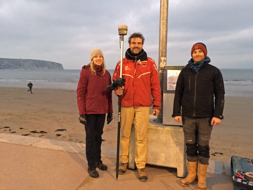
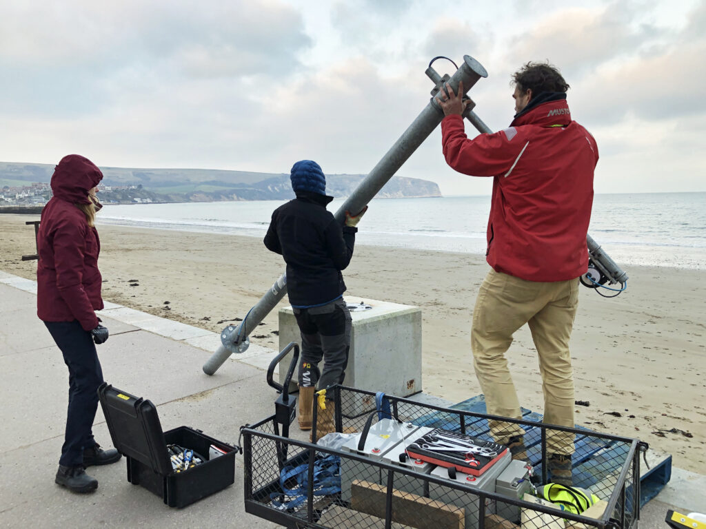
The team from the University of Plymouth’s coastal process research group. Left to right: Matea Zupicic, Dr Tim Poate and Mark Symons
“Generate a daily profile of the beach”
Coastal research consultant at the University of Plymouth, Dr Tim Poate said:
“Every day at low tide, the laser scanner will project a pencil line from the sea wall, across the beach, to the shoreline. This will then generate a daily profile of the beach. I should just say that the laser scanner is perfectly safe for anyone to be near, so no one should be concerned.
“The idea is that the data will show whether the sand gets too low at times – which is bad for the structure of the sea wall, or indeed too high, which could contribute to the sea over topping onto the road.
“At the end of the six months we will be able to see clearly the pattern of the movement of sand. The data received also allows for more accurate prediction of wave overtopping during storms.”
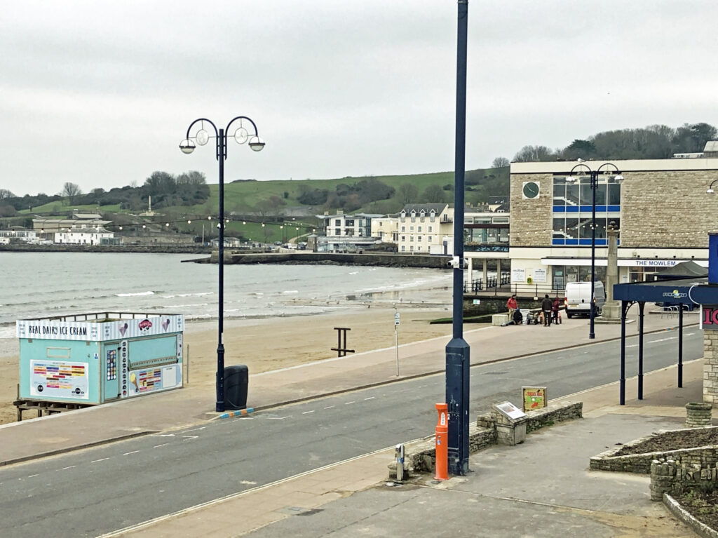
The B-Scan is located at the beach near The Mowlem along Shore Road
Paid for by the Environment Agency
The work is being paid for by the Environment Agency and carried out in conjunction with Dorset Council and Swanage Town Council.
In 2005 and 2006 Dorset County Council, as it was then, added sand cleared from Poole Harbour to Swanage Beach and installed groynes to prevent the sand from naturally moving northward along the beach. This renourishment of the beach transformed it back to a beautiful sandy bay.
Now nearly 20 years later, it’s possible that extra sand may be required to keep the beach not only looking good, but also for it to continue acting as a great form of coastal protection.
The beach is very effective at absorbing the wave energy, thus helping to prevent flooding of the seafront and Shore Road.
So the data collected will enable Dorset Council to assess any beach erosion and manage the risk for the future in conjunction with the Environment Agency.
The B-Scan monitor has already been tested in Penzance in Cornwall, Dawlish in Devon and West Bay in Dorset to profile their beaches.
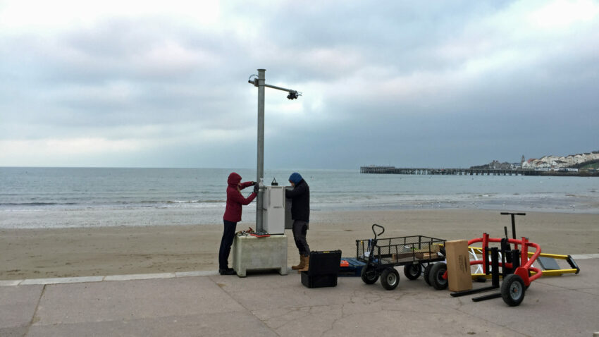
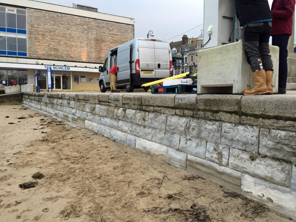
The monitoring device being installed
Swanage is very exposed to easterly winds
Dr Tim Poate added:
“Typically seaside towns along the South Coast are mostly subject to south westerly winds but unusually Swanage Bay, due to its geography, is very exposed to easterlies.
“Historically sea defences in towns like Swanage aren’t set up for more exposed weather events, however with sea levels rising and accelerated climate change, the increased flood risk needs to be assessed. The B-Scan monitor is one way to help base future decisions on data.”
Further information
- More about the B-Scan monitor is on the University of Plymouth website